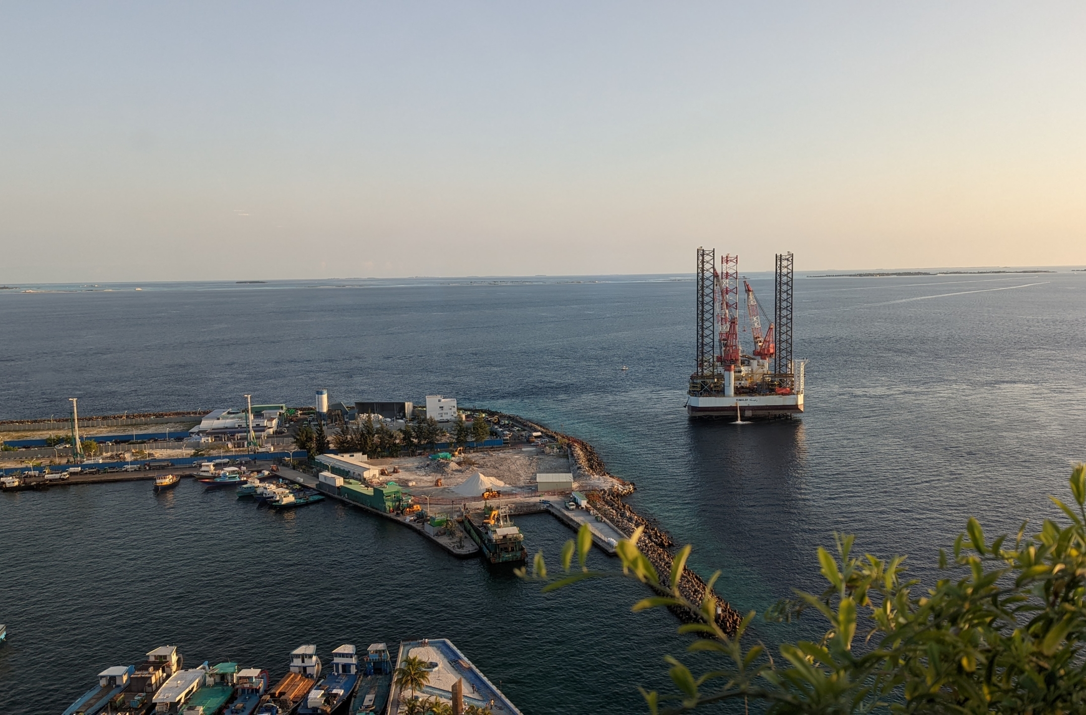
Malé, Maldives – Ministry of National Planning, Housing and Infrastructure on Tuesday confirmed that the offshore support vessel anchored east of the capital city Malé is part of the technical support for the Thilamale bridge construction.
The current position of the vessel named RUMAILAH is in the Indian Ocean (coordinates 4.16903 N / 73.49953 E). The vessel arrived at the port of Male, Maldives on Mar 30, 04:12 UTC.
The vessel owned by Gulf International Drilling will conduct geotechnical surveys by drilling into the ocean floor and retrieving samples.
Local news Dhauru reports citing a ministry official that the completion date for the data retrieval project is unknown.
The Greater Malé Connectivity Project includes a 6.7 km bridge and causeway network connecting Male, Villingili, Gulhifalhu and Thilafushi. The scope comprises three (3) navigation bridges of 140 m main span across the deep channel between each island, 1.41 km of a marine viaduct in deep water, 2.32 km marine viaduct in shallow water or on land, and 2.96 km of at-grade roads.
Furthermore, the land interchanges on Male’ and Villingili will be signalized junctions, while there will be roundabouts at Gulhifalhu and Thilafushi. Bus terminals are also planned on each island near the junctions with the mainline. Along with this, the project will also be using solar power for lighting purposes to use renewable energy as a sustainable measure in infrastructure. Solar panels are to be installed on the top of the lamp posts and along discrete lengths of the bridge parapets.
While this project will be fully funded under an Indian grant and line of credit, India has also undertaken about 30 community projects under grant of which about half have already been completed in The Maldives.


